Google Maps, rideshare and transport apps
Your mobile device can help you know where you are, get you to where you want to be, and provide help on the road.
Learn how your mobile device can pinpoint its own location with a feature called location services, and how this can be used by various apps to help you get around.
Before you begin
This course is for users of mobile phones and tablets that have a SIM card included. For tablets that are Wi-Fi only and don’t also have mobile data via a SIM card, the location is only approximate, and the tablet can’t guide you to a destination like a smartphone can.
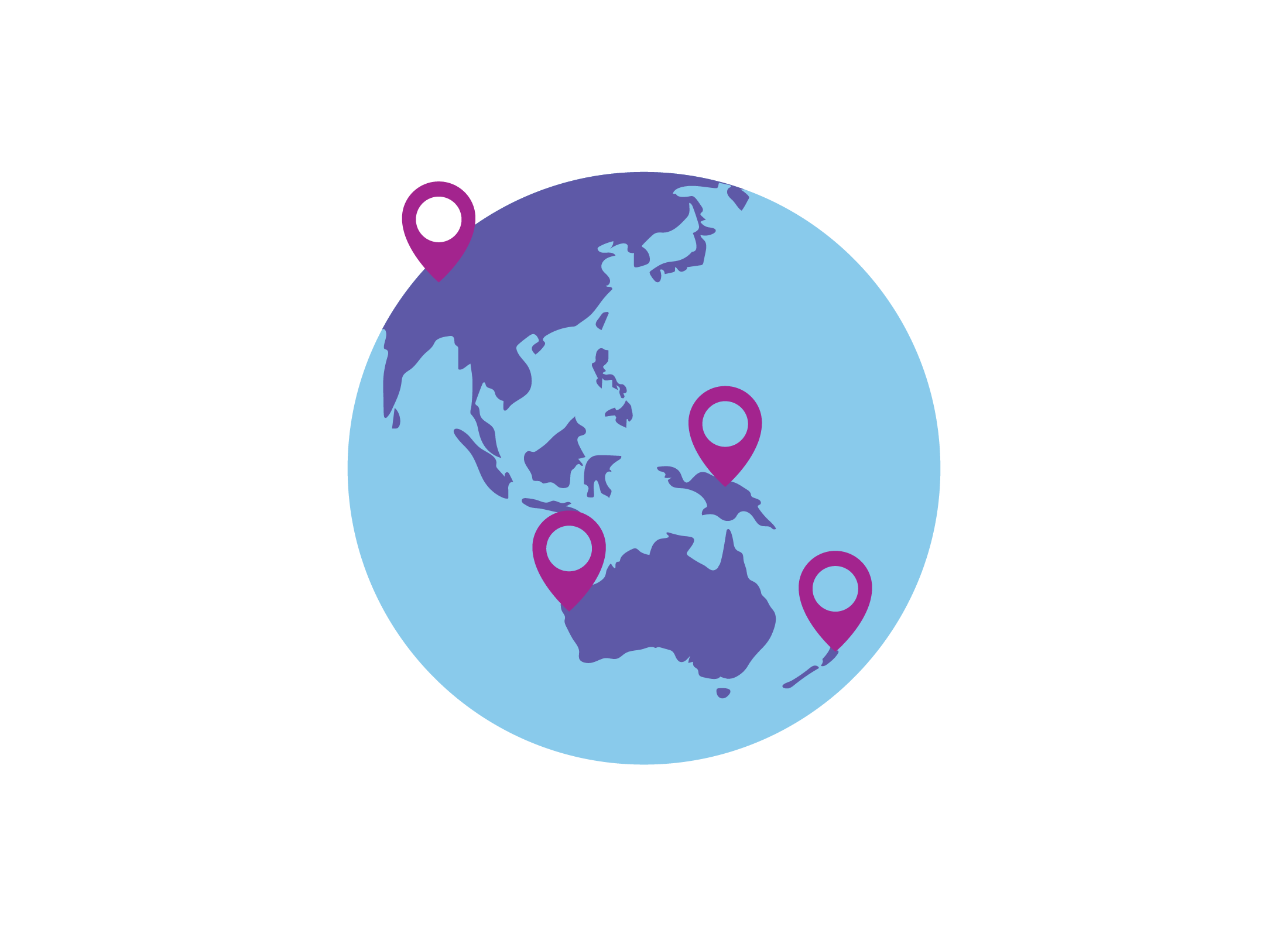
How your smartphone knows its location
A mix of hardware and software lets your smartphone work out its location:
- It can show this location on a map and is accurate to within about five metres.
- This feature is called Location on some smartphones, or Location Services on others.
Why it’s safe to let your smartphone know its location
The location services on your smartphone are safe to use:
- The location does not include your name or personal information.
- An app must ask for permission to access your location.
- You can turn off Location Services in your phone’s settings, under Location.
- Your phone shows a map pin icon at the top of the screen when location is being accessed.
Using Google Maps
Google Maps is a popular app for getting directions and finding locations anywhere in the world:
- It’s available for Android and Apple devices.
- Maps uses Google Search to help you find things nearby.
- You will see real-time alerts for traffic, events, or crashes.
- Get directions for car, walking, biking, or public transport.
- See alternate routes that might be slightly longer but avoid tolls or difficult roads.
- Google Maps needs mobile data reception to update your route while you are out and about.
- You can download Offline directions at home, but you won’t get alerts about traffic.
There are some other apps that work like Google Maps, including:
- Apple Maps (on Apple devices only)
- Waze
- Here WeGo
- Maps.me
Rideshare and taxi apps
You can use an app to order a taxi or use a rideshare service:
- Rideshare services include Uber, Didi, OLA, and more.
- Private car owners pick up passengers and take them to a destination.
- The ride is pre-paid, and you can rate your driver out of five stars to keep service at high levels.
- Taxi apps aren’t available for all taxi companies.
- If a taxi company has an app, you should be able to pre-order and pre-pay for a fare.
- You can also choose the type of car, such as wagon or wheelchair accessible.
- Be aware of surge-pricing with rideshare apps. This is when trips are more expensive because demand is high, such as when a big sporting event finishes.
Timetable and public transport apps
Timetable apps let you plan and catch public transport services more easily and conveniently:
- These apps cover train, tram (or light rail), bus, and ferry services.
- You can search for a trip between stations, bus stops, ferry wharfs, or combine these.
- These apps update automatically when new timetables are released.
- You will also be able to see if a service is cancelled, or just delayed, and alternative ways to get to your destination.
- Save offline timetables to your phone for when there’s no data reception.
- Some apps work with your travel card (such as Opal or Myki).
- Travel card apps let you manage card balances and show the total cost of a trip.
One of the most popular timetable apps is TripView. This app works in Sydney and Melbourne. Other states have their own apps, such as My Translink for Queensland and TransPerth for the Western Australia.
Roadside assist apps
Instead of calling for roadside assistance on the phone and waiting in a queue, you can now use an app:
- Book a service through the app and track when your service vehicle will arrive.
- No need to know the nearest cross-street, as the app will use your phone’s location.
- Access other features like cheap fuel finder, discount coupons for parking, and more.
You can access roadside assistance services with a paid membership, which is usually yearly. This costs between $100 and $300, depending on the level of service. Some insurance providers also include roadside assist.
Traffic apps
As well as your map app, you might want to use a dedicated traffic app to stay informed about traffic conditions:
- Get more general info for your whole city or region.
- See where incidents are happening where you might be planning to travel.
- Find out about roadworks and more.
- You can give the app permission to send you notifications about new incidents or traffic disruptions.
Most states have their own traffic app, including:
- NSW: LiveTraffic
- Victoria: VicTraffic
- Queensland: QLDTraffic
- SA: Traffic SA
- Tasmania: TrafficTAS